


NASA is now using the International Space Station to study Earth’s forests in 3D – providing insights into the world’s canopy, vegetation, carbon sequestration, climate change response and biodiversity.
Working with the University of Maryland—which last month released the latest deforestation data from across the world—NASA’s Global Ecosystem Dynamics Investigation (or GEDI) is back in full flight after a 15-month hiatus and mapping the world’s forest canopy in real-time.
Using Lidar technology, GEDI measures global forest structures by bouncing light off canopies. It reports back to the university changes in vegetation and branch distribution, which is invaluable in understanding the global carbon cycle.
According to NASA, GEDI is part of a toolkit that “helps scientists understand how these vital ecosystems are changing in response to climate pressures…by monitoring these changes, we can develop more effective strategies for protecting and managing our precious forests.”
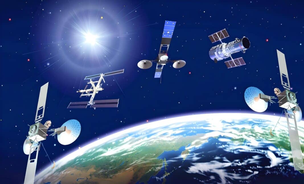
The push to monitor global carbon stocks comes as NASA and the Indian Space Research Organisation are poised to launch NASA-ISRO Synthetic Aperture Radar (NISAR), a new satellite that will monitor the Earth’s land and ice surfaces twice every 12 days.
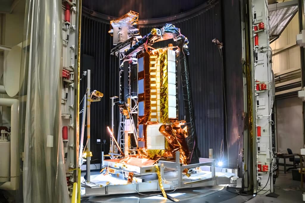
Set to launch in October, the satellite will observe and measure some of the planet’s most complex processes, including ecosystem disturbances, ice sheet collapse, and natural hazards such as earthquakes, volcanic unrest, coastal subsidence, and landslides.
“Data collected from NISAR will reveal information about the evolution and state of Earth’s crust, help scientists better understand our planet’s processes and changing climate, and aid future resource and hazard management,” according to a joint statement from NASA and ISRO.
Last year, NASA administrator Bill Nelson promised that NISAR would greatly assist policy markets in monitoring and preventing deforestation in the Amazon.
“This advanced technology will enable us to observe the undergrowth of the jungle, making it possible to detect if areas have been burned,” according to Mr Nelson, who said the ability “to ‘see’ through the dense forest canopy, even under cloud cover, offers a significant breakthrough in forest monitoring technology.”
- Click on Wood Central’s special feature to learn more about how NASA is working to monitor and prevent deforestation.