


Forest scientists now use remote sensors and AI to assess major weather events—including hurricanes, cyclones, and fires—to make high-stakes decisions in real time.
In March, Wood Central reported that San Francisco-based tech company Pano AI was working with forest managers across Australia to monitor the country’s worst bushfire season in five years.
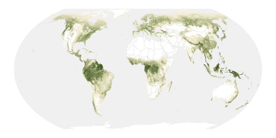
Now, researchers from the University of Florida are using NASA’s satellites—which are circulating Earth—to 3D-map at-risk forests before, during, and after hurricanes.
According to Carlos Silvia, an Assistant Professor of Forest Science at the university’s Institute of Food and Agricultural Sciences, the data is critical for policymakers to assess timber damage and make environmental decisions – including salvage, insurance, and climate change studies.
“Hurricanes pose a fundamental challenge for us in Flordia,” Professor Silvia told Fox News, adding that “the traditional way to assess the impact of hurricanes is basically to go to the field, establish plots and measure trees.” However, Professor Silvia said, “Thanks to these innovative remote-sensing and AI methods, we are in a new era of forest monitoring.”
Professor Silvia’s team gathers data using LIDAR sensors—or Light Detection and Ranging—attached to backpacks and SUVs, supported by NASA satellites in space to generate 3D maps of forests.
“We combine these two images – taken of the same place – over each other,” according to Kody Brock, a researcher at Professor Silvia’s AI Lab, who said that the researchers then use AI to generate an online mapping platform, showing the Hurricane’s impact on Flordia’s forests.
“As part of this project, we are testing different AI models to develop the maps,” Professor Silvia said, with Mr Brock adding, “It has the potential to help lots of people.”
“Based on the damage severity, they can better plan restoration activities,” Professor Silvia said, adding that “they can use the data for insurance claims and improve the management decisions that they might need to make after disturbing events.”
- Click on Wood Central’s special feature to learn more about how AI has the potential to change global forestry forever.