


New research has shed light on the complex relationship between urban heat and seasonal vegetation leaf emergence, revealing that heat may not expedite this process.
The study was published in the journal – Science of the Total Environment.
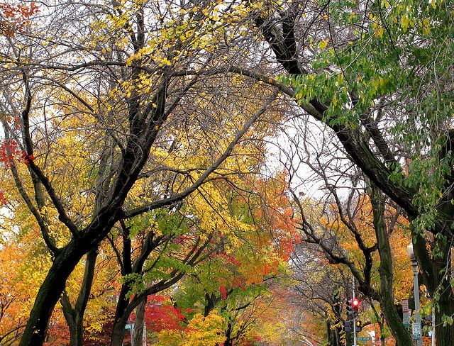
American University researcher, Michael Alonzo, utilized CubeSat imagery to examine heat’s role in the onset of the urban forest growing season.
High-resolution images from tiny satellites, detailed enough to discern individual trees, provide insight into global vegetation growth patterns.

According to ZME Science, due to superior image quality, researchers have gained a far greater understanding of leaf response.
This development is crucial, says Alonzo, as it allows us to focus on individual plant species and their responses to warming.
Urban areas often experience the ‘urban heat island effect,’ where city temperatures rise due to heat trapped and radiated by impervious surfaces like concrete and asphalt.
The phenomenon is significant for scientists studying the potential impacts of climate change on vegetation in non-urban areas.
In late 2021, Wood Central Southeast Asia Reporter Ken Hickson spoke to Associate Professor Winston Chow, an Intergovernmental Panel on Climate Change (IPCC) contributor, about the urban heat effect and its importance for mitigating climate change.
Previous studies using satellite technology revealed that urban trees often ‘green up’ earlier and lose leaves later than their rural counterparts, seemingly shifting the seasons.
This phenomenon was primarily attributed to heat. However, Alonzo’s recent study questions this premise.
Is the Urban Heat effect overstated?
“Heat plays a role, but we may be overstating its importance,” Alonzo stated.
With CubeSat imagery, Alonzo and his team overcame the limitations of pixelated images, enabling them to study species individually and track daily changes.
They used this technology to monitor over 10,000 tree crowns in Washington DC during the 2018 and 2020 growing seasons, covering 29 species of broadleaf, leaf-shedding trees.
The team analyzed how species and location influenced the length of a tree’s growing season and how factors like air temperature and surface cover affected these timings.
Alonzo suggests these findings, though localized, could have broader implications for other urban and non-urban areas.
He emphasizes the need for further research on species composition changes between urban and rural areas to enhance understanding of vegetation’s response to heat.
Looking ahead, Alonzo plans to collaborate with researchers in Nigeria and Haiti, applying CubeSat imagery to monitor changes in agriculture and forests.